Skip to content
Menu
PyCon HK
  • Conference Highlights
  • Schedule
    • 2024
    • 2023
    • 2022
    • 2021
    • 2020 Fall
    • 2020 Spring
    • 2018
    • 2017
    • 2016
    • 2015
  • Sponsors
    • 2024
    • 2023
    • 2022
    • 2021
    • 2020 Fall
    • 2018
    • 2017
    • 2016
    • 2015
  • Communities
    • 2024
    • 2023
    • 2022
  • Booths
    • 2024
    • 2023
  • Organizers
    • 2024
    • 2023
    • 2022
  • Volunteers
    • 2024
    • 2023
    • 2022
    • 2021
    • 2020 Fall
    • 2018
    • 2017
    • 2016
    • 2015
PyCon HK

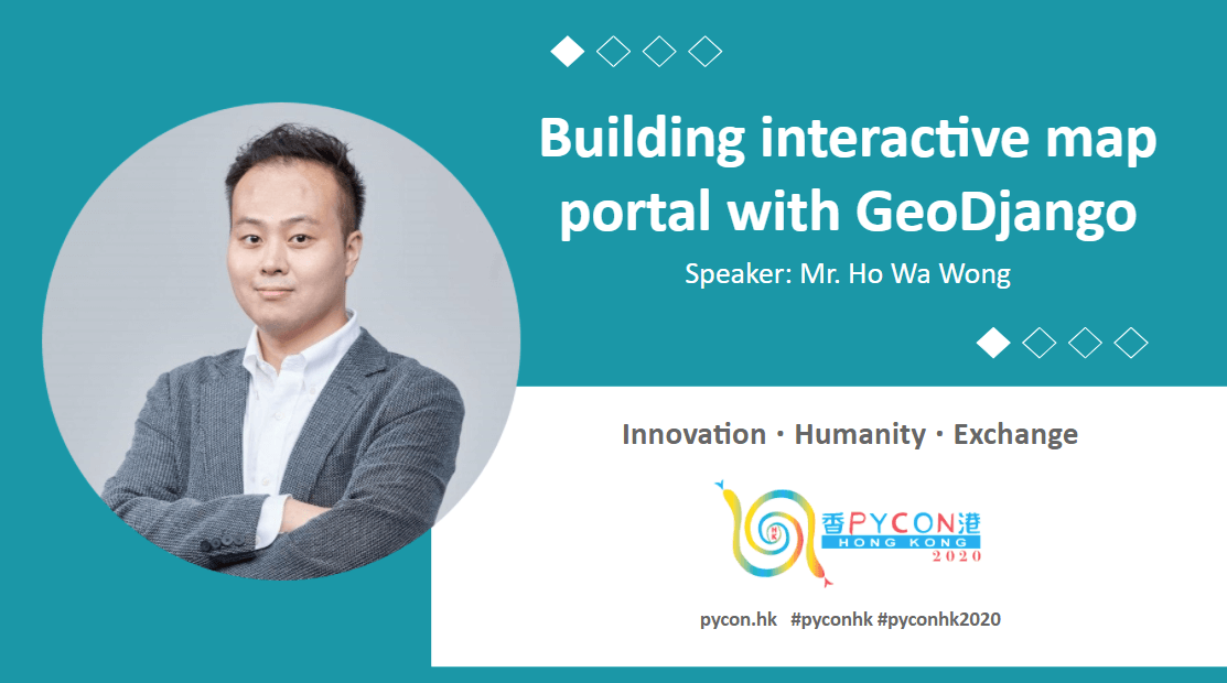
Building interactive map portal with GeoDjango

Posted on October 26, 2020September 18, 2024

This section demonstrates how to build a interactive and searchable map using GeoDjango, postGIS and leaflet.

Language: Cantonese
Date & Time: 7 November 2020, Saturday 16:35-17:05
Speaker: Ho Wa Wong
Member of Election Committee, IT Subsector, g0vhk founder, Member of Advisory Committee, Hong Kong Open Data Index

GitHub: https://github.com/howawong
Twitter: https://twitter.com/howawong
LinkedIn: https://www.linkedin.com/in/howawong/

  • Instagram
  • LinkedIn
  • Facebook
  • Twitter
  • YouTube

Archives

History

2026 2025 2024 2023 2022 2021
2020 Fall 2020 Spring 2020 2018 2017 2016 2015

©2026 PyCon HK | Powered by SuperbThemes!
← Apache Heron, the stream processing system, in Cybersecurity with Python ← When technology meets humanity – Sign language recognition translator for Hong Kong hearing impaired community